:max_bytes(150000):strip_icc()/EmergingCorn3-CloseUp-dc2b5a896adf4f83aa32bd0aff8f3e6d.jpg)
By Jared Strong
For the first time in nearly two years, no part of Iowa has extreme drought — the second-worst dryness classification of the U.S. Drought Monitor.
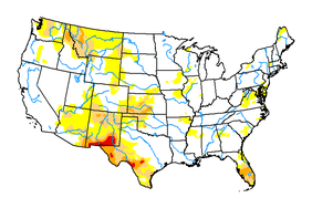
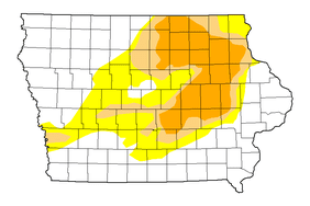
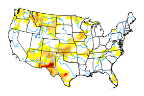
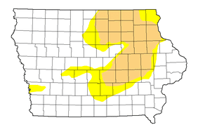
A new report on Thursday that takes into account the significant rainfall of last week and early this week shows the footprint of drought continues to shrink. About 37% of the state has some measure of drought, down from 97% in September.
Iowa is wetter, as a whole, than it has been in nearly a year.
Most of the lingering drought is in the eastern half of the state, where a vast expanse of formerly extreme dryness is subsiding. About 19% of the state still has severe drought.
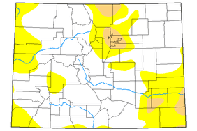
The U.S. Drought Monitor has four classifications to describe that severity: moderate, severe, extreme, and exceptional.
:max_bytes(150000):strip_icc()/0509drought-map-db890c73c0e943e59e1bcd8a5f0c702d.jpg)
Drought Monitor
The classifications are based on an analysis of precipitation, stream flows, and temperature, along with local observations of plants and soil moisture, among other data.
Last week the state averaged about 2.23 inches of precipitation, which was more than double what is typically expected.
Moderate rainfall is expected throughout the state in the next seven days, with the highest amounts in eastern and southern Iowa, according to the National Weather Service.
Iowa Capital Dispatch is part of States Newsroom, a network of news bureaus supported by grants and a coalition of donors as a 501c(3) public charity. Iowa Capital Dispatch maintains editorial independence. Contact Editor Kathie Obradovich for questions: info@iowacapitaldispatch.com. Follow Iowa Capital Dispatch on Facebook and Twitter.


